Cartography & Earth Sciences Almanac

Geography Beyond the Map

Flat wall maps make borders look permanent and mountains look simple to rank. Once you look closer at geodesy, river treaties, and glacial rebound, our planet reveals far stranger arrangements: islands that peacefully change nationality twice a year, lake islands nestled inside other islands, and an equatorial summit that sits two kilometers farther from Earth's center than Mount Everest.

01
01 — The world's oldest rotating condominium

Pheasant Island: the river islet that belongs to Spain in spring and France in autumn
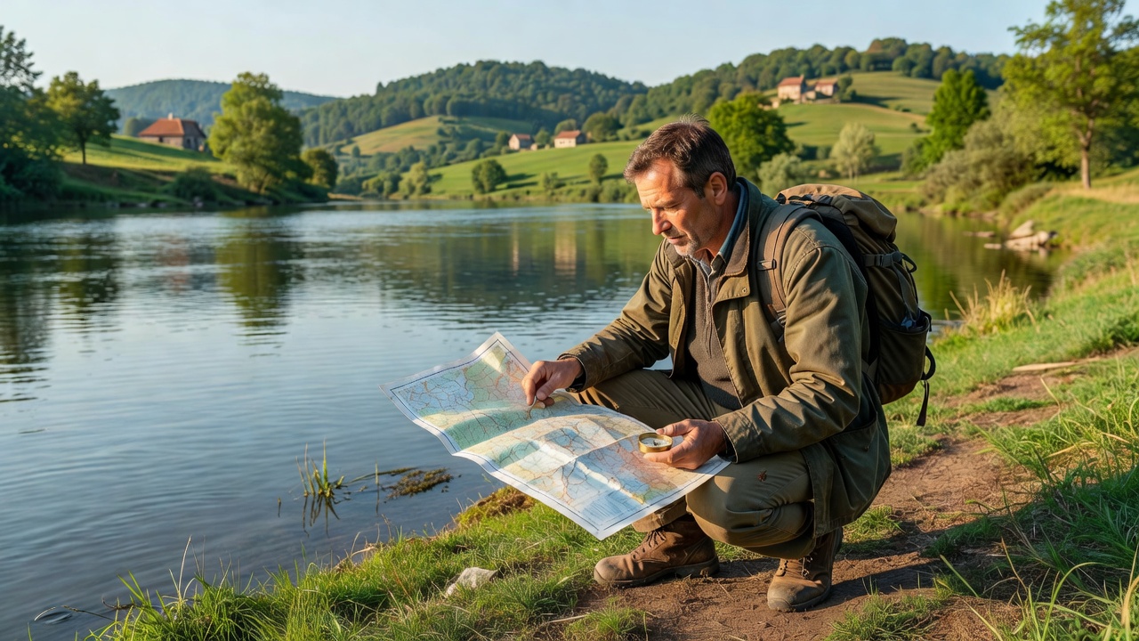
Traveler holding a compass and topographic map overlooking a calm European border river
Political Geography

In the middle of the Bidasoa River, separating Irun in Spain from Hendaye in France, sits a quiet, tree-lined strip of alluvial land measuring just 200 meters long: Pheasant Island (Isla de los Faisanes / Île des Faisans). In 1659, after three months of negotiations in wooden pavilions erected on the island, French Cardinal Mazarin and Spanish minister Luis de Haro signed the Treaty of the Pyrenees to end the Thirty Years' War between their kingdoms.

Rather than splitting the tiny island down the middle, the 1856 Treaty of Bayonne codified a unique rotating sovereignty (condominium) that remains in force today. From February 1 to July 31 each year, Pheasant Island is officially territory of Spain, administered by the naval commander of San Sebastián. On August 1, sovereignty transfers to France for the next six months, managed by the naval delegate of Bayonne—making it the smallest and oldest alternating territory on Earth.
Traceable Source: Treaty of the Pyrenees (November 7, 1659) and the Treaty of Bayonne (December 2, 1856), French Ministry for Europe and Foreign Affairs Treaty Archives.
02
02 — Geodesy and the equatorial bulge

Why Ecuador's Mount Chimborazo puts you 2,168 meters closer to the stars than Everest

Geodesy

Mount Everest is unquestionably the highest mountain on Earth when measured above mean sea level (8,848.86 meters). However, as Isaac Newton predicted in his 1687 Principia, Earth is not a perfect sphere. Its daily rotation creates centrifugal force that pushes the planet outward at the equator into an oblate spheroid—making the equatorial radius roughly 21.4 kilometers wider than the polar radius.

Mount Chimborazo, an inactive stratovolcano in Ecuador's Cordillera Occidental, stands 6,263 meters above sea level. Because Chimborazo sits just one degree south of the equator (whereas Everest sits at nearly 28 degrees north latitude), the planet's equatorial bulge lifts Chimborazo's peak to 6,384.4 kilometers from the center of the Earth—compared to Everest's 6,382.3 kilometers.

Sea level itself bulges at the equator due to centrifugal force. In 2016, a joint French-Ecuadorian geodetic expedition placed a GNSS satellite receiver directly on Chimborazo's summit ice cap to confirm its exact distance from the Earth's center of mass to within millimeters.

Traceable Source: Institut de Recherche pour le Développement (IRD) & Instituto Geográfico Militar del Ecuador, 2016 Third French Geodesic Mission Chimborazo Summit Survey.
03
03 — Recursive landforms

Yathkyed Lake's unnamed rocky outcrop: an island in a lake on an island in a lake on an island

Physical Geography

Across the Canadian Shield in Nunavut, retreating Ice Age glaciers scoured millions of depressions into ancient Precambrian bedrock. At latitude 62°39′05″ N, longitude 97°47′15″ W, satellite cartographers documented a third-order recursive island inside the Yathkyed Lake basin.

Here is the exact nesting chain: inside massive Yathkyed Lake sits a large inner island; cradled inside that island is a smaller freshwater lake; rising out of that lake is a second island; inside that second island lies a tiny pond; and poking above the surface of that pond is a 300-meter rocky islet—likely never stepped upon by a human explorer.

Traceable Source: Natural Resources Canada, Atlas of Canada Toporama Hydrographic Dataset (NTS Map Sheet 065J, Nunavut).
04
04 — The rising coastline

Why historic Swedish fishing harbors now sit kilometers inland from the Baltic Sea

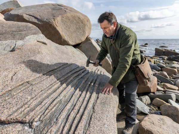
Geographer examining glacial striations on coastal granite boulders in natural light
Glacial Isostasy

During the Last Glacial Maximum 20,000 years ago, the Fennoscandian ice sheet pressed down on northern Europe with a dome of ice up to three kilometers thick. That immense weight pushed the Earth's crust down into the viscous mantle beneath it.

Since the ice melted around 10,000 years ago, the High Coast (Höga Kusten) of Sweden and Finland's Kvarken Archipelago have rebounded upward by nearly 300 meters—and continue to rise by roughly 8 to 9 millimeters every single year. In the 18th century, physicist Anders Celsius carved benchmark lines into coastal rocks at Lövgrund to prove the land was rising out of the sea, explaining why medieval boat houses now stand high in birch forests.

Traceable Source: UNESCO World Heritage Centre, High Coast / Kvarken Archipelago Geological Dossier (Ref. 898bis); Lantmäteriet Geodetic Land Uplift Records.

See how builders adapted to shifting ground, wind, and climate in Buildings Tell Time →